The Grand Balcon Nord or the Plan de l’Aiguille / Montenvers – Mer de Glace traverse
Starting from the Plan de l’Aiguille Refuge
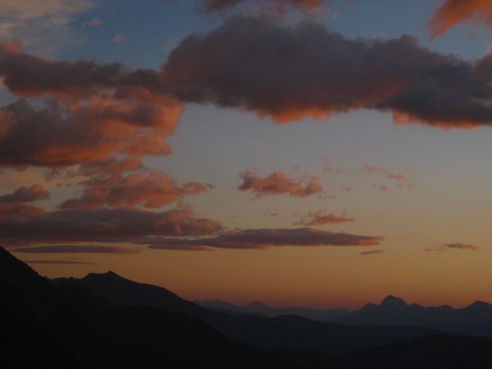
Easy walking for all. A level path along a “balcony” with extraordinary views over the Mont Blanc, the Aiguilles de Chamonix and the Aiguilles Rouges range.
The path leaves the Plan de l’Aiguille refuge towards the north-east and works its way around some small ridges and thalwegs along streams. Dominated by the huge Aiguilles de Chamonix rock faces, the path is easy with some stone steps.
Warning: there can be late snowdrifts in early summer.
Halfway along, a broader space dotted with large blocks of granite marks the junction of the path down to the Blaitière mountain pastures. Continue straight on and at the next intersection (2,070m), take the path to the right which zigzags steeply up to the Signal Forbes (2198m). A good path paved with big flagstones brings you to the top of the ridge and, once beyond the many cairns, the view is spectacular over the Mer de Glace glacier, surrounded by the towering peaks of Les Drus and Les Grandes Jorasses.
Pleasant downhill path to Montenvers.
You can then walk back (approximately 2 hours) or take the rack & pinion train down to Chamonix.
The stages of the journey
Book your accommodation
for this hike
stage 1
Refuge du Plan de l'Aiguille
Departure arrival2207 m
Arrival altitude1913 m
Elevation gain/loss180
Time2h30 environ
DifficultyAverage
Season

